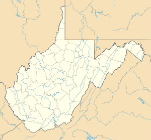
Middle Wheeling Creek
| Middle Wheeling Creek Biflod till Little Wheeling Creek
| |
|---|---|
| Plats | |
| Land | Förenta staterna |
| stat | västra Virginia |
| Grevskap | Ohio |
| Stad | Triadelphia |
| Fysiska egenskaper | |
| Källa | Bonar Creek -klyftan |
| • plats | cirka 5 miles sydväst om Claysville, Pennsylvania |
| • koordinater | |
| • höjd | 1 250 fot (380 m) |
| Mun | Lilla Wheeling Creek |
• plats |
Triadelphia, West Virginia |
• koordinater |
Koordinater : |
• höjd |
725 fot (221 m) |
| Längd | 15,11 mi (24,32 km) |
| Bassängstorlek | 34,36 square miles (89,0 km 2 ) |
| Ansvarsfrihet | |
| • plats | Lilla Wheeling Creek |
| • genomsnitt | 41,90 cu ft/s (1,186 m 3 /s) vid mynningen med Little Wheeling Creek |
| Handfat funktioner | |
| Progression | Little Wheeling Creek → Wheeling Creek → Ohio River → Mississippi River → Mexikanska golfen |
| Flodsystem | Ohio River |
| Bifloder | |
| • vänster |
Laidley Run Gillespie Run |
| • höger |
Todd Run Coulter Run Orrs Run Marlow Run Tanyard Run |
| Broar | McGuffey Road, Memorial Road, McGuffey Road, Middle Creek Road, Erskine Road, Laidley Run Road, Dallas Pike, Gillespie Road, Middle Creek Road, Ford Street, I-70, Ferrell Avenue |
Middle Wheeling Creek är en 15,11 mi (24,32 km) lång 3:e ordningens biflod till Little Wheeling Creek i Ohio County, West Virginia .
Kurs
Middle Wheeling Creek reser sig cirka 3 miles sydväst om Claysville, Pennsylvania , i Washington County och rinner sedan västerut in i Ohio County, West Virginia för att ansluta sig till Little Wheeling Creek i Triadelphia .
Vattendelare
Middle Wheeling Creek dränerar 34,36 kvadrat miles (89,0 km 2 ) av ytan, får cirka 41,1 tum/år av nederbörd, har ett fuktindex på 295,46 och är cirka 61 % skogbevuxen.

