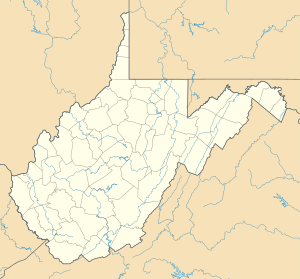
Lilla Wheeling Creek
| Lilla Wheeling Creek Biflod till Wheeling Creek
| |
|---|---|
| Plats | |
| Land | Förenta staterna |
| stat | västra Virginia |
| Grevskap | Ohio |
| Stad | Rullande |
| Fysiska egenskaper | |
| Källa | Dutch Fork divide |
| • plats | cirka 0,25 miles nordväst om West Alexander, Pennsylvania |
| • koordinater | |
| • höjd | 1 190 fot (360 m) |
| Mun | Wheeling Creek |
• plats |
Wheeling, West Virginia |
• koordinater |
Koordinater : |
• höjd |
669 fot (204 m) |
| Längd | 5,37 mi (8,64 km) |
| Bassängstorlek | 62,2 kvadrat miles (161 km 2 ) |
| Ansvarsfrihet | |
| • plats | Wheeling Creek |
| • genomsnitt | 73,72 cu ft/s (2,088 m 3 /s) vid mynningen med Wheeling Creek |
| Handfat funktioner | |
| Progression | Wheeling Creek → Ohio River → Mississippi River → Mexikanska golfen |
| Flodsystem | Ohio River |
| Bifloder | |
| • vänster |
Point Run Middle Wheeling Creek |
| • höger |
McGraw Run Battle Run Dixon Run Roneys Point Run Gashell Run McCoy Run Peters Run |
| Broar | US 40, West Main Street, Fls Drive, US 40 (x3), Cove Creek Road, Cooper Road, US 40 (x2), Battle Run Road, Dixon Run Road, US 40 (x2), Point Run Road, Blayney Avenue, US 40 (x3), Springer Addition, Middle Creek Road, US 40, Elm Grove Crossing Mall, I-70, National Road |
Little Wheeling Creek är en 5,37 mi (8,64 km) lång 4:e ordningens biflod till Wheeling Creek i Ohio County, West Virginia .
Variantnamn
Enligt Geographic Names Information System har det också varit känt historiskt som:
- Middle Wheeling Creek
Kurs
Little Wheeling Creek reser sig cirka 0,25 miles nordväst om West Alexander, Pennsylvania , i Washington County och rinner sedan sydväst in i Ohio County, West Virginia till Wheeling Creek vid Wheeling .
Vattendelare
Little Wheeling Creek dränerar 62,2 kvadrat miles (161 km 2 ) av ytan, får cirka 41,0 tum/år av nederbörd, har ett fuktindex på 293,17 och är cirka 63 % skogbevuxen.

