Burntwood, Kansas
Burntwood, Kansas | |
|---|---|

| |
| Koordinater: Koordinater : | |
| Land | Förenta staterna |
| stat | Kansas |
| Grevskap | Rawlins |
| Elevation | 3 261 fot (994 m) |
| Befolkning | |
| • Totalt | 0 |
| Tidszon | UTC-6 ( CST ) |
| • Sommar ( sommartid ) | UTC-5 (CDT) |
| Riktnummer | 785 |
| GNIS ID | 482481 |
Burntwood är en spökstad i Rawlins County, Kansas, USA.
Historia
Burntwood fick ett postkontor 1886. Postkontoret lades ner 1899, gavs ut på nytt 1903 och upphörde sedan permanent 1907.
Vidare läsning
externa länkar
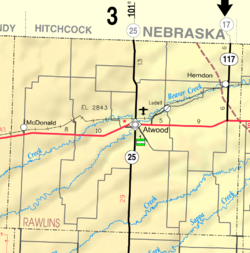
- Rawlins County-kartor: Aktuellt , Historiskt , KDOT


