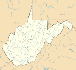
Longs Run (Castleman Run biflod)
| Longs Run Biflod till Buffalo Creek
| |
|---|---|
| Plats | |
| Land | Förenta staterna |
| stat | västra Virginia |
| Grevskap |
Brooke Ohio |
| Fysiska egenskaper | |
| Källa | McGraw Run divide |
| • plats | cirka 2 miles syd-sydost om West Liberty, West Virginia |
| • koordinater | |
| • höjd | 1 195 fot (364 m) |
| Mun | Castleman Run |
• plats |
cirka 2 miles syd-sydost om Bethany, West Virginia |
• koordinater |
Koordinater : |
• höjd |
879 fot (268 m) |
| Längd | 3,88 mi (6,24 km) |
| Bassängstorlek | 4,94 kvadrat miles (12,8 km 2 ) |
| Ansvarsfrihet | |
| • plats | Castleman Run |
| • genomsnitt | 6,06 cu ft/s (0,172 m 3 /s) vid mynningen med Castleman Run |
| Handfat funktioner | |
| Progression | Castleman Run → Buffalo Creek → Ohio River → Mississippi River → Mexikanska golfen |
| Flodsystem | Ohio River |
| Bifloder | |
| • vänster | icke namngivna bifloder |
| • höger | icke namngivna bifloder |
| Broar | WV 37, Long Run Road, WV 53, Castleman Run Road |
Longs Run är en 3,88 mi (6,24 km) lång 2:a ordningens biflod till Castleman Run i Brooke County, West Virginia .
Kurs
Longs Run reser sig cirka 2 miles sydsydost om West Liberty, West Virginia, i Ohio County och rinner sedan nordostligt in i Brooke County för att ansluta sig till Castleman Run cirka 2 miles sydsydost om Bethany, West Virginia .
Vattendelare
Longs Run dränerar 4,94 kvadrat miles (12,8 km 2 ) av ytan, får cirka 40,5 tum/år av nederbörd, har ett fuktindex på 293,77 och är cirka 60 % skogbevuxen.

